- Published on
Latrigg (368m) – Route Guide & GPX | A Quick and Easy Walk from Keswick
- Author
-
-
- Name
- Posts
- Posts
-
Last updated: May 2026
Sitting above the popular tourist hub of Keswick is the little summit of Latrigg, overlooked, quite literally, by Skiddaw to the north and the more popular Catbells to the south.
No summit in The Lakes exceeds 1,000m, and yet the landscape is one where the line between hill and mountain is blurred. Scafell Pike is a definite mountain, as is Helvellyn. Latrigg sits at the other end of the spectrum - a modest 368m, grassy and unassuming.
Why dedicate a page to it then?
Because the walk to Latrigg’s summit offers one of the best effort-to-view ratios in the Lake District, the walk is extremely accessible - one that the whole family can enjoy, year-round. There are days to test yourself, but now and then it’s good to take a stroll and soak up the views.
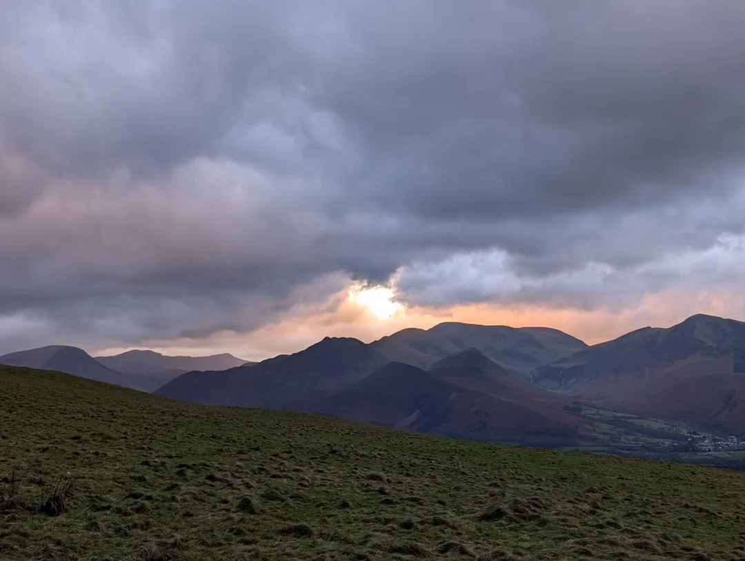
The sun setting behind stormy fells from Latrigg.
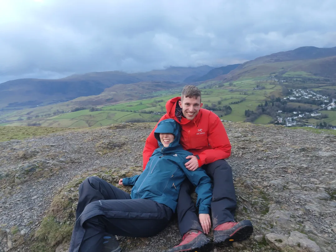
We climbed Latrigg at the end of a pre-Christmas trip to The Lakes after spending a few days climbing bigger fells, including Skiddaw and Scafell Pike. Our final day looked to be a write-off with storm Bram bringing rain and gale-force winds. We spent the morning walking around the shops in Keswick, but there’s only so much time you can spend in cafés, pubs and outdoor shops. With a break in the rain just before sunset, we decided to go and see why Latrigg is a favourite of the locals.
Whilst the rain had halted, the wind was still angry, and we were literally blown off our feet at times. However, Latrigg’s lack of exposure and grassy slopes meant that this never felt too dangerous. The views over The Lakes as the sun was setting were genuinely breath-taking (or was that the wind?), and this little summit was well worth the short walk to blow the cobwebs out.
Latrigg Route Guide - At a Glance
At 368m, Latrigg is one of the lowest summits in the Lake District, yet it still earns a place as one of the 214 Wainwrights. The paths are clear and well-maintained, with views opening up almost immediately. It’s an ideal choice for a short outing, a recovery day, or a stretch of the legs when the weather closes in on higher ground.
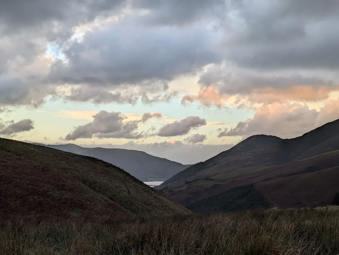
A break in the clouds out over Bassenthwaite lake.
Overall rating: ★★★☆☆ - Unmatched views for the minimal effort
Difficulty: ★☆☆☆☆ - One for the whole family - maybe not in gale-force winds though
Start point: Underskiddaw
Distance: 2km
Elevation: 200m
Time: Approx. 0.5 hours
Gear needed: No specific requirements - trainers and jeans would be fine. A raincoat is always good in The Lakes, though!
Need to know: A narrow, steep country lane leads up to a small car park. This is fine on a cold, wet December day, but I imagine the summer months would be very busy.
Planning a Trip? - Some Practicalities
GPX Route
This GPX route was recorded by us during our walk (as is reflected on the 3D route map). Conditions on the hill can change, so treat this as a rough guide rather than a precise plan. From the car park at the start, there are clear waymarked paths – this is a great route to get away from a screen and enjoy the route. Always prepare carefully and follow local safety guidance.
Getting to the Start
Map of start point above - click "Open in Maps " to open Google/Apple Maps and get directions
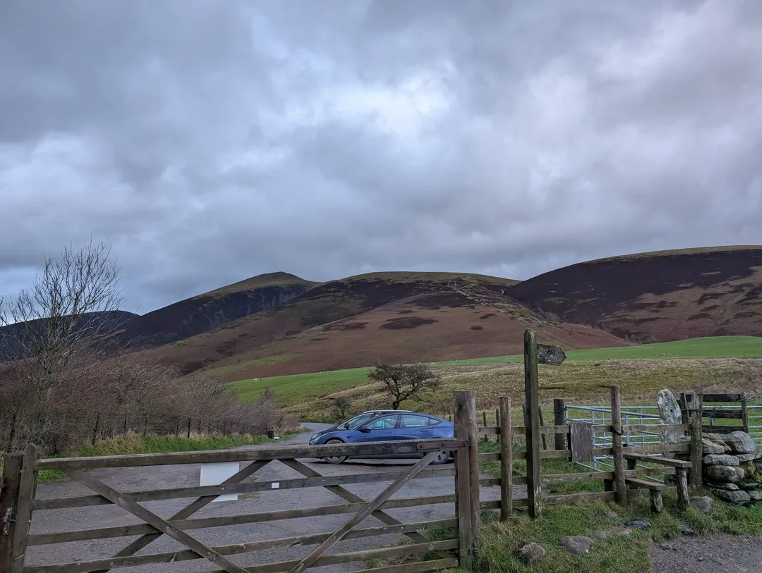
From Keswick, head north towards Applethwaite and follow the signs for Underskiddaw. The lane to the car park is narrow and steep as it climbs along the slopes of Skiddaw. My old ’03 VW Polo handled it fine, so most cars will have no issue (though it was noisy with the exhaust hanging on for dear life!). There is a small car park at the start of the route, with room for a handful of cars. We climbed Latrigg in December in a storm, and the car park was practically empty (unsurprisingly). I imagine the summer months would be a different story.
Alternatively, you can extend the walk by walking directly from Keswick, which is a nice option if you have a bit more time and is also much more friendly for those without a car.
How Difficult is Latrigg?
The start point, with a rather bleak Skiddaw in the background.
Latrigg is about as straightforward as it gets. There’s no scrambling, no exposure, and the paths are clear and well-defined throughout. The only real obstacle is a stile near the start – though even that can be bypassed, with the walk featured in the National Park’s Miles Without Stiles scheme.
In good conditions, this is suitable for almost anyone - trainers would be fine. That said, we climbed in gale-force winds and were knocked off our feet more than once - enough to trigger a Garmin emergency alert accidentally. While the terrain is forgiving, strong winds or icy ground can still make things less than ideal for those less steady on their feet.
Best Time to Climb Latrigg
I use climb in the figurative sense. Latrigg can be climbed year-round, but snow/ice on the ground and stormy weather should be treated with more caution.
The short route and easy paths make Latrigg a great sunrise/sunset spot. The sun setting over the stormy fells was one of my favourite views of this trip to The Lakes.
Latrigg Weather
The Lake District weather is famously changeable – it is not unusual to experience 4 seasons in the space of a few hours. Just because it’s sunny when you set off, doesn’t mean it will stay that way. It’s always worth carrying at least a waterproof jacket (ideally trousers too) in The Lakes. Latrigg is more forgiving in that if you do get caught out you’re never too far from the car.
Latrigg’s meagre elevation makes it an excellent choice when the higher fells have their heads in the clouds or when the weather is less than favourable.
A very windy summit
Related Trips
Puig de Galatzó (1,027m) - Route Guide & GPX | Climbing the “Matterhorn of Mallorca”
Last updated: April 2026 Mallorca was somewhere I’d always wanted to visit, but it wasn’t for the mountains; it was for the crystal-clear blue waters and some much-needed sun. To be blunt, I didn’t...
Comapedrosa (2,943m) - Route Guide & GPX | Andorra's Highest Mountain
Last updated: April 2026 Whilst the Alps get most of the attention in the European mountain scene, there’s an equally beautiful and dramatic range on the other side of France. The Pyrenees form the...
Casamanya (2,740m) - Route Guide & GPX | Andorra's Family Friendly Mountain
Last updated: April 2026 Nestled in the heart of Andorra, a mountainous European microstate, Casamanya stands as an unassuming "hill looking" mountain. At 2,740m, it would tower over any peak in the...