• Published on

    Toubkal (4,167m) - Route Guide & GPX | Climbing Morocco's Highest Peak in Winter

    Last updated: April 2026

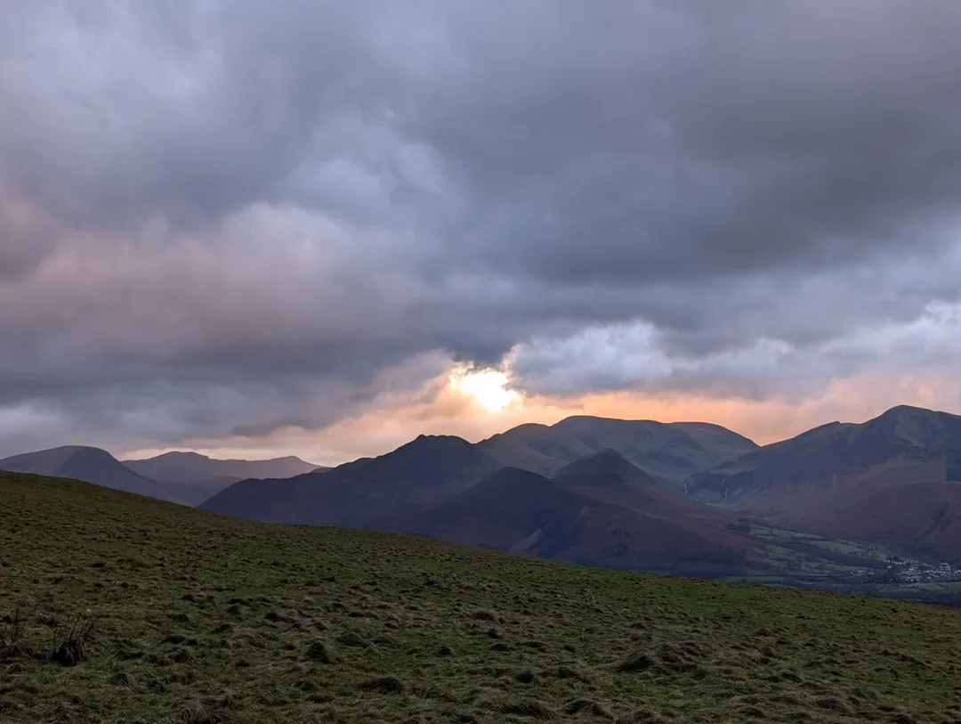
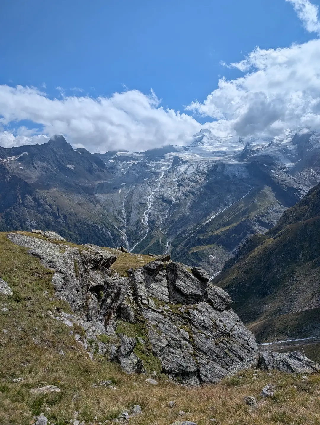
    The Atlas Mountains stretch across North Africa, forming a natural barrier between the Sahara Desert and the Mediterranean. The range tops out in the High Atlas at Mount Toubkal (4,167m), the highest peak in Morocco and North Africa. Characterised by an arid landscape, the Atlas Mountains stand in stark contrast to their European counterpart, the Alps. In summer, the peaks are dry and scree-clad, while winter brings snow and ice that transform the mountains. Yes, it does snow in Africa.


    Climbing Toubkal is one of the most accessible ways to reach 4,000m, and its popularity has grown in recent years, helped by relatively low guide fees and social media coverage. The trek starts from Imlil, at the base of the Toubkal National Park, which is home to the majority of Morocco’s 4,000m peaks. Despite being one of the main tourist hubs in the Atlas Mountains, Imlil is a far cry from Alpine resort towns - there are no cable cars or luxury hotels, just a handful of food shops and some outdoor stores renting out battered mountaineering kit. This rural setting is part of the appeal; you climb the whole mountain with minimal creature comforts.

    View of the snow-covered Atlas Mountains on the ascent of Mount Toubkal.
  • Published on

    Latrigg (368m) – Route Guide & GPX | A Quick and Easy Walk from Keswick

    Last updated: May 2026

    Sitting above the popular tourist hub of Keswick is the little summit of Latrigg, overlooked, quite literally, by Skiddaw to the north and the more popular Catbells to the south.


    No summit in The Lakes exceeds 1,000m, and yet the landscape is one where the line between hill and mountain is blurred. Scafell Pike is a definite mountain, as is Helvellyn. Latrigg sits at the other end of the spectrum -  a modest 368m, grassy and unassuming.


    Why dedicate a page to it then?


    Because the walk to Latrigg’s summit offers one of the best effort-to-view ratios in the Lake District, the walk is extremely accessible - one that the whole family can enjoy, year-round. There are days to test yourself, but now and then it’s good to take a stroll and soak up the views.

    The sun setting behind stormy clouds
  • Published on

    Allalinhorn (4,027m) - Route Guide & GPX | An "Easy" First 4,000m Peak

    Last updated: April 2026

    The Allalinhorn isn’t exactly a famous name outside of climbing circles – I hadn’t heard of it before booking a trip to Saas Fee. It doesn’t have the looks of the Matterhorn or the legendary status of Mont Blanc, but it does have a reputation as one of the more “friendly” 4,000m peaks in the Alps. The Alps have over eighty of these so-called “4,000ers” and, while most require long treks to refuges, tricky ridges or a painfully early alarm clock, the Allalinhorn is a little more forgiving for us mortals. Thanks to Saas Fee’s lift infrastructure, two separate cable cars followed by the MetroAlpin (the highest underground funicular in the world), you can be standing on a glacier with crampons and an ice axe within an hour. All this infrastructure makes it feel almost like cheating, but we weren’t complaining.


    That convenience makes it popular, though. The first funicular is usually heaving with climbers. From our hotel in the valley, we’d already seen a winding line of people making their way up the glacier on the Saas Fee webcam. We ended up taking a later lift, at least partly by design, and while this meant there were fewer people on the mountain, it also meant crossing snow bridges that were softening under the late-morning sun.

    View of Allalinhorn seen from above Saas Fee.
  • Published on

    Puig de Galatzó (1,027m) - Route Guide & GPX | Climbing the “Matterhorn of Mallorca”

    Last updated: April 2026

    Mallorca was somewhere I’d always wanted to visit, but it wasn’t for the mountains; it was for the crystal-clear blue waters and some much-needed sun. To be blunt, I didn’t realise there were any mountains in Mallorca. After the ubiquitous uni trip to Ibiza, where we drove to the island's highest point in what was a nerve-wracking first experience driving abroad, I assumed that all of the Balearics consisted of wooded hills. Beautiful, sure, but nothing to write home about. Imagine my excitement then, after booking a trip to Mallorca for Ros to do a sea swim, when I realised that there were proper mountains on the island. (I’m not sure Ros was so thrilled after her sea swim.)


    Mallorca is home to the beautiful Serra de Tramuntana mountains, designated a UNESCO World Heritage Site in 2011. This 90 km-long limestone range tops out at 1,436 m. Whilst the highest peak is home to a military base, so out of bounds for the majority of us, there are 54 peaks over 1,000 m and hundreds of kilometres of hiking trails. There’s even a challenge to climb all 54 (Los 54 Miles) – I’m not entirely sure how they handle the whole military base thing. While 1,000 m doesn’t sound enormous, even in the context of other Spanish peaks, most of these will be climbed from near sea-level, so they feel every bit like real mountains. One of the most popular of these is Puig de Galatzó, or the “Matterhorn of Mallorca" – there’s a Matterhorn everywhere if you look hard enough.

    Rock formation on Puig de Galatzo
  • Published on

    Mount Etna (~3,350m) - Route Guide & GPX | Climbing Europe's Most Active Volcano in Winter

    Last updated: April 2026

    ​Rising from the Mediterranean, Mount Etna stands as the highest volcano in Europe, the highest mountain in southern Italy and one of the world’s most active volcanoes. What better idea then, than to try to climb it (I am told sarcasm doesn’t translate well in writing). 


    Anyone who has been to the eastern (Catania) side of Sicily will be able to attest that everything seems to have gotten the Etna treatment – cafés, accommodation, wine, even kebab shops bear the Etna name. It’s clear that Etna is a huge draw for tourism in the region. Our trip to Sicily, in March ’25, was characterised by wind, rain and clouds – not the Sicilian weather that those tourists are coming for in peak season. (We later discovered that this is fairly standard March weather.) However, when there is a break in the clouds and Etna shows her face, it is clear to see what all the fuss is about.

    Mount Etna peaking out from beneath the clouds
  • Published on

    Comapedrosa (2,943m) - Route Guide & GPX | Andorra's Highest Mountain

    Last updated: April 2026

    Whilst the Alps get most of the attention in the European mountain scene, there’s an equally beautiful and dramatic range on the other side of France. The Pyrenees form the natural border between France and Spain, stretching from the Mediterranean in the east to the Atlantic in the west. Nestled amongst these jagged peaks is Andorra, an ancient and tiny landlocked country that often gets forgotten about. If it does come up in conversation, it’s usually for the tax-free shopping or skiing.


    Part of the reason for Andorra’s relative anonymity is that it isn’t the easiest place to reach. Despite being close to the UK as the crow flies, there’s no airport or train line into the country, and the surrounding mountains mean the nearest airports are still a fair drive away. We made the beautiful three-hour journey from Barcelona a few days before, and whilst it requires a bit of extra effort, the reward is stunning summer scenery without the crowds of Europe’s more famous hiking spots.

    View of Pyrenees from Comapedrosa summit ridge