- Published on
Puig de Galatzó (1,027m) - Route Guide & GPX | Climbing the “Matterhorn of Mallorca”
- Author
-
-
- Name
- Posts
- Posts
-
Last updated: April 2026
Mallorca was somewhere I’d always wanted to visit, but it wasn’t for the mountains; it was for the crystal-clear blue waters and some much-needed sun. To be blunt, I didn’t realise there were any mountains in Mallorca. After the ubiquitous uni trip to Ibiza, where we drove to the island's highest point in what was a nerve-wracking first experience driving abroad, I assumed that all of the Balearics consisted of wooded hills. Beautiful, sure, but nothing to write home about. Imagine my excitement then, after booking a trip to Mallorca for Ros to do a sea swim, when I realised that there were proper mountains on the island. (I’m not sure Ros was so thrilled after her sea swim.)
Mallorca is home to the beautiful Serra de Tramuntana mountains, designated a UNESCO World Heritage Site in 2011. This 90 km-long limestone range tops out at 1,436 m. Whilst the highest peak is home to a military base, so out of bounds for the majority of us, there are 54 peaks over 1,000 m and hundreds of kilometres of hiking trails. There’s even a challenge to climb all 54 (Los 54 Miles) – I’m not entirely sure how they handle the whole military base thing. While 1,000 m doesn’t sound enormous, even in the context of other Spanish peaks, most of these will be climbed from near sea-level, so they feel every bit like real mountains. One of the most popular of these is Puig de Galatzó, or the “Matterhorn of Mallorca" – there’s a Matterhorn everywhere if you look hard enough.
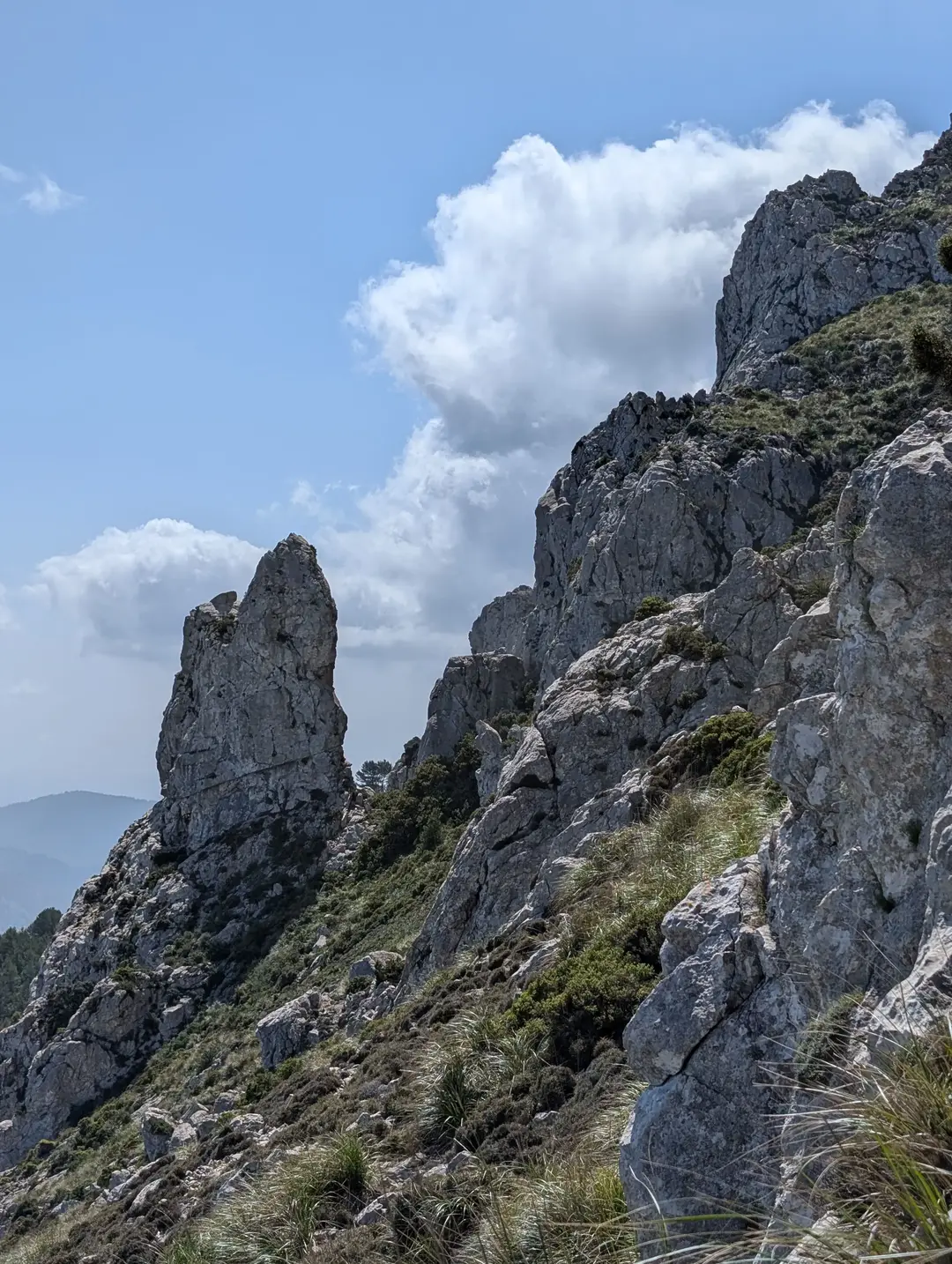
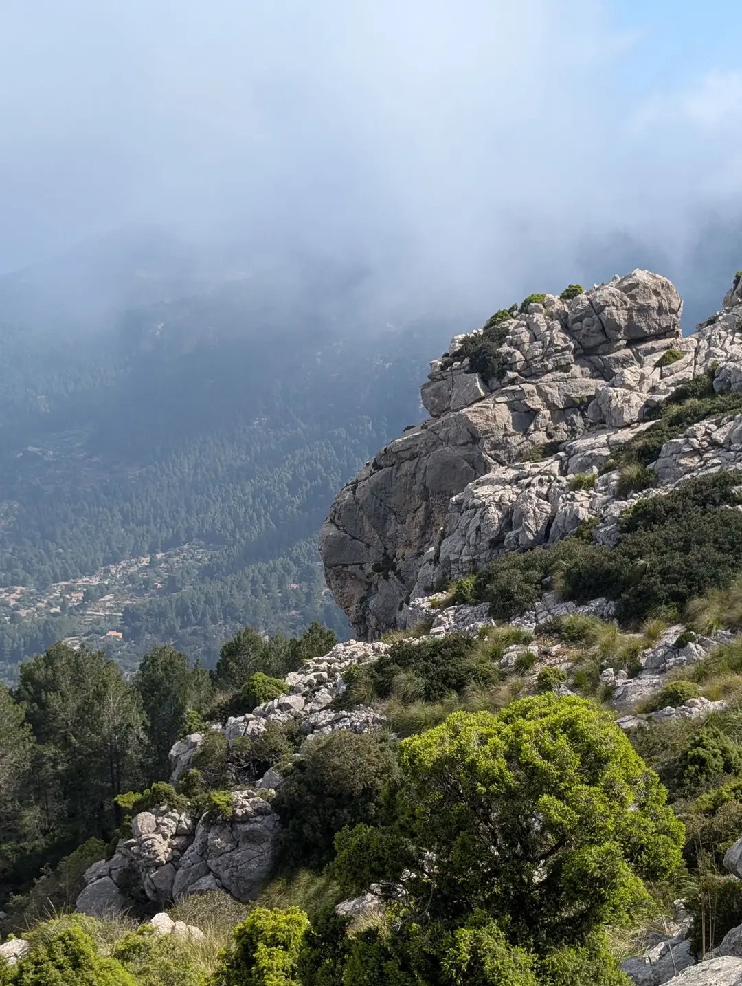
Es Bispe as seen from the main path to the summit
Despite its reputation as one of the island's most popular hikes, on this early-May bank holiday weekend, hiking Puig de Galatzó in Mallorca turned out to be far quieter than we expected. The trail was easy to follow, with a little scrambling sprinkled in at the end – oh, and it’s absolutely stunning.
Puig de Galatzó Route Guide
Overall rating: ★★★★☆
Difficulty: ★★☆☆☆ - Not overly strenuous, there is a bit of scrambling to the summit, but not quite enough to push this to a 3.
Start point: Estellencs (lay-by on the coastal road south of Estellencs)
Distance: 10 km
Elevation: 780 m
Time: Approx. 4 hours
Gear needed: Standard hiking gear
The Ascent
Our day started on the east of the island in sunshine. After checking out of our Airbnb, we made the one-hour drive across the island to the start of the route. We had booked a Fiat 500, being the cheapest rental car going, naturally. It seemed like they ran out of Fiats, so we had been given the next closest thing which was a huge Subaru Forester. To say it was jarring after our late flight in would be an understatement. I digress. By the time we reached the start of the route, we were beneath thick cloud, and starting to question our decision to go for a walk on our last day in Mallorca. I parked up in the lay-by, forgetting to put the car in park, and nearly smacked into a rock. It goes without saying that it was my first time driving an automatic.
With hopes of recovering our rental car deposit still just about intact, we set off up the gravel track away from the lay-by, working our way through the trees beneath the towering cliffs lurking in the cloud. We were keen to keep the pace up to stay ahead of the coach of fellow walkers who pulled up just after us. I’ll say we’re not competitive, but we are. Even when that’s a group of elderly walkers who don’t know they’re racing us.
Hopes not high that the thick cloud was going to clear
Before long, we reached Boal de ses Serveres, which is essentially a picnic area, and I imagine a great place for lunch on a sunny day. At this point, we were faced with our decision; we were initially planning on doing the circular route, which loops around under the peak before making the approx. 1-hour detour to the summit and back. The issue was that we were against time with our flight home in the afternoon. The AllTrails reviews are littered with people recommending tackling the trail in either direction, so we just decided to do whichever looked quicker, which was anticlockwise. If this is all sounding very stressful, then that’s because it was.
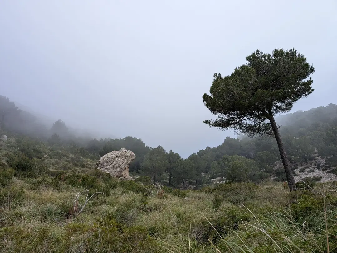
With the decision made, we continued up the path and out of the trees, revealing the grassy slopes of the mountain with limestone outcrops peeking out of the cloud above. There was a definite eerie feeling, with next to no one around us and the still silence of the cloud. If you squinted hard enough, you could fool yourself into thinking there was blue sky behind a thin veil of grey. I’ve been on enough claggy walks in the UK to know that that’s never the case.
Or so I thought. In what felt like the next minute, the clouds were clearing around us, and we were basking in the Balearic sunshine, revealing the landscape around us. It’s amazing what a bit of sunshine can do for the mood.
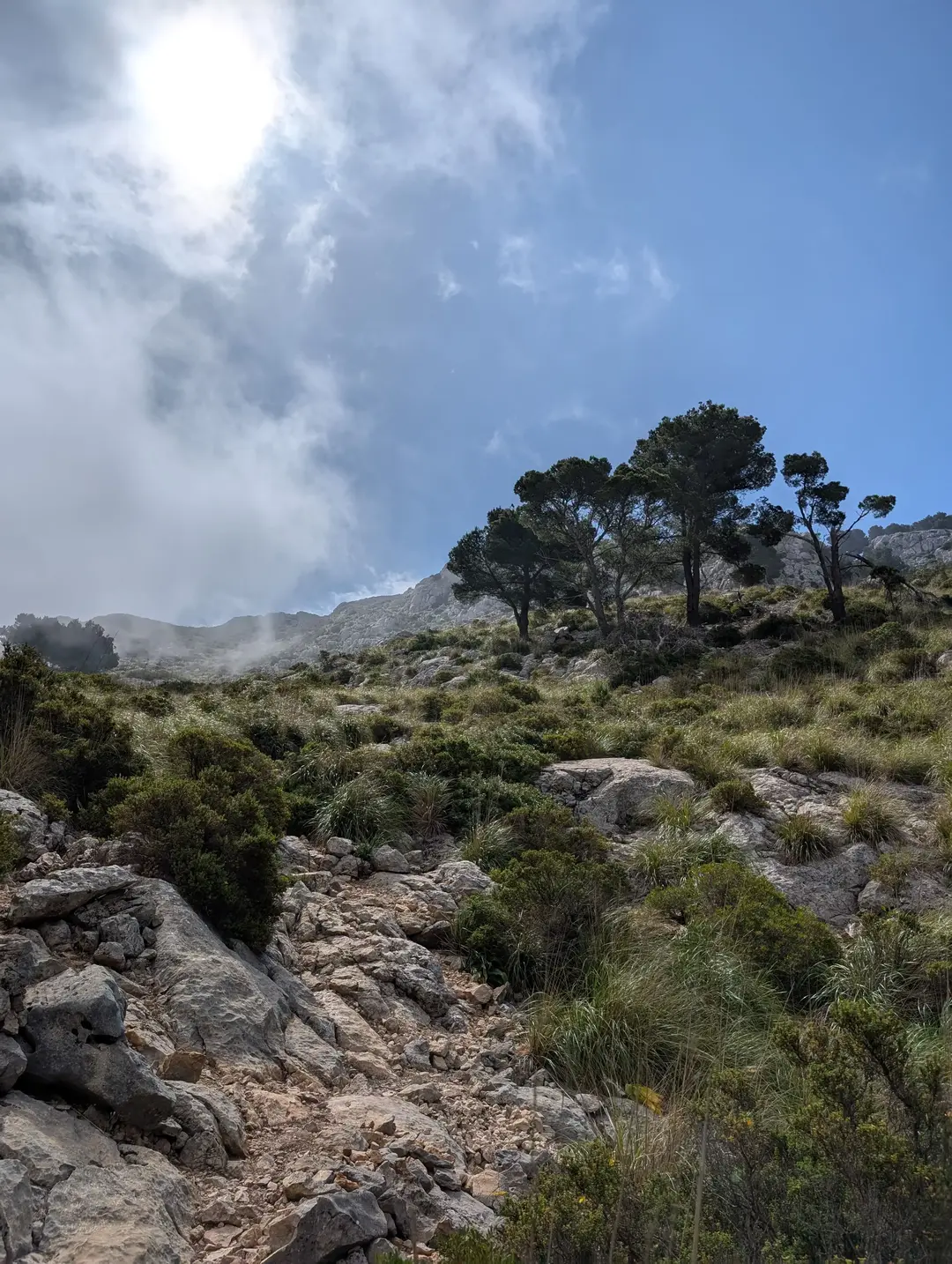
Coming out of the cloud into the Balearic sunshine
Rocky outcrop looking down to the village below
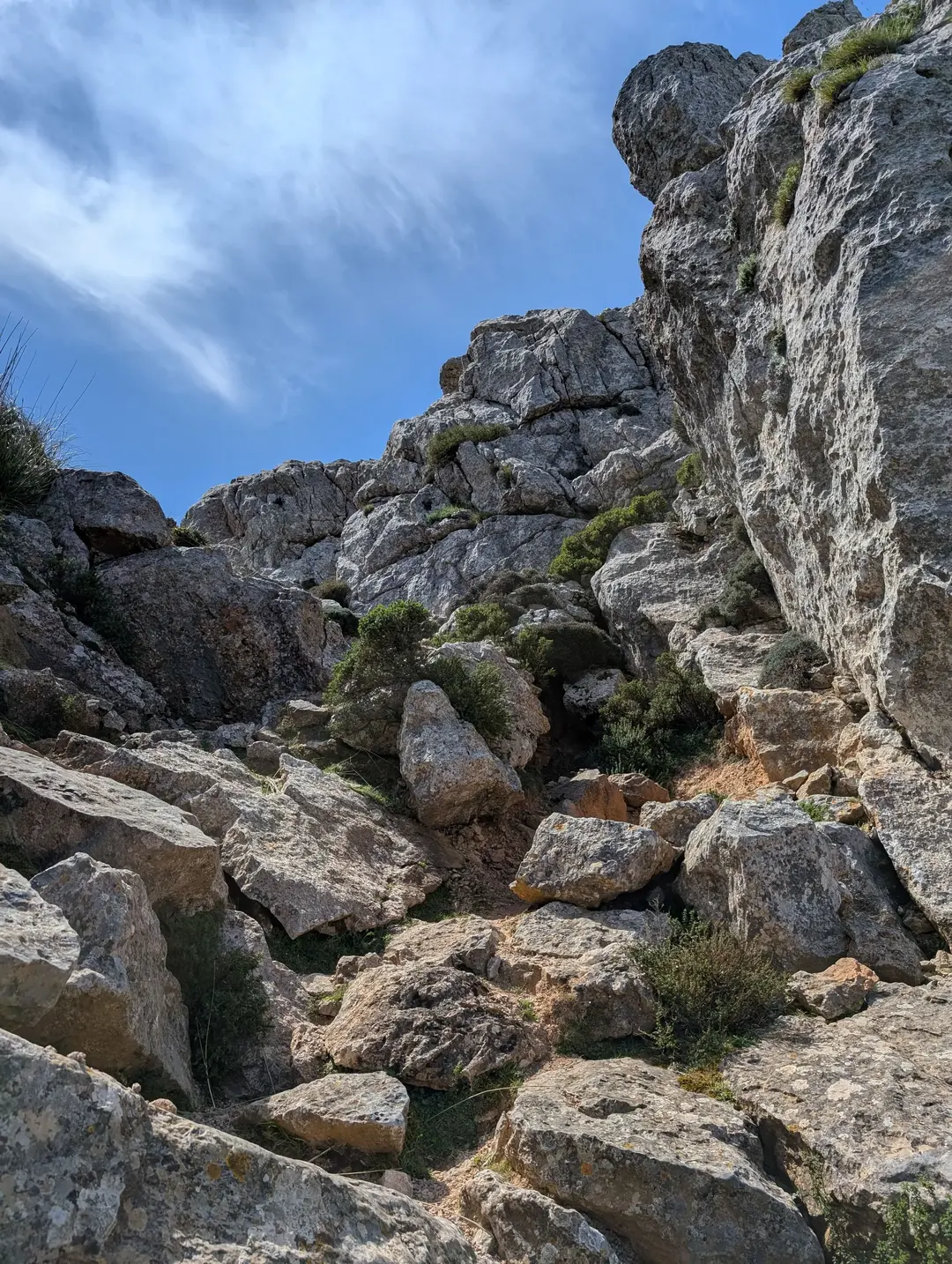
The trail continued up amongst the beautiful limestone and scrub-clad slopes to the turn-off to the summit. Front and centre was Puig de Galatzó’s most famous feature - Es Bispe, “the Bishop” - a spectacular rock tower named for its resemblance to the chess piece. At this point, the path makes a beeline for the summit, initially starting gently but becoming increasingly rocky with the need for hands at some particularly steep sections. As with most scrambles, this is as difficult as you make it, and there were definitely times I chose a more awkward route to make the scrambling a bit more exciting. Ultimately, though, the scrambling is fairly easy throughout and never feels dangerous or particularly exposed.
Es Bispe and the path pointing up towards the summit
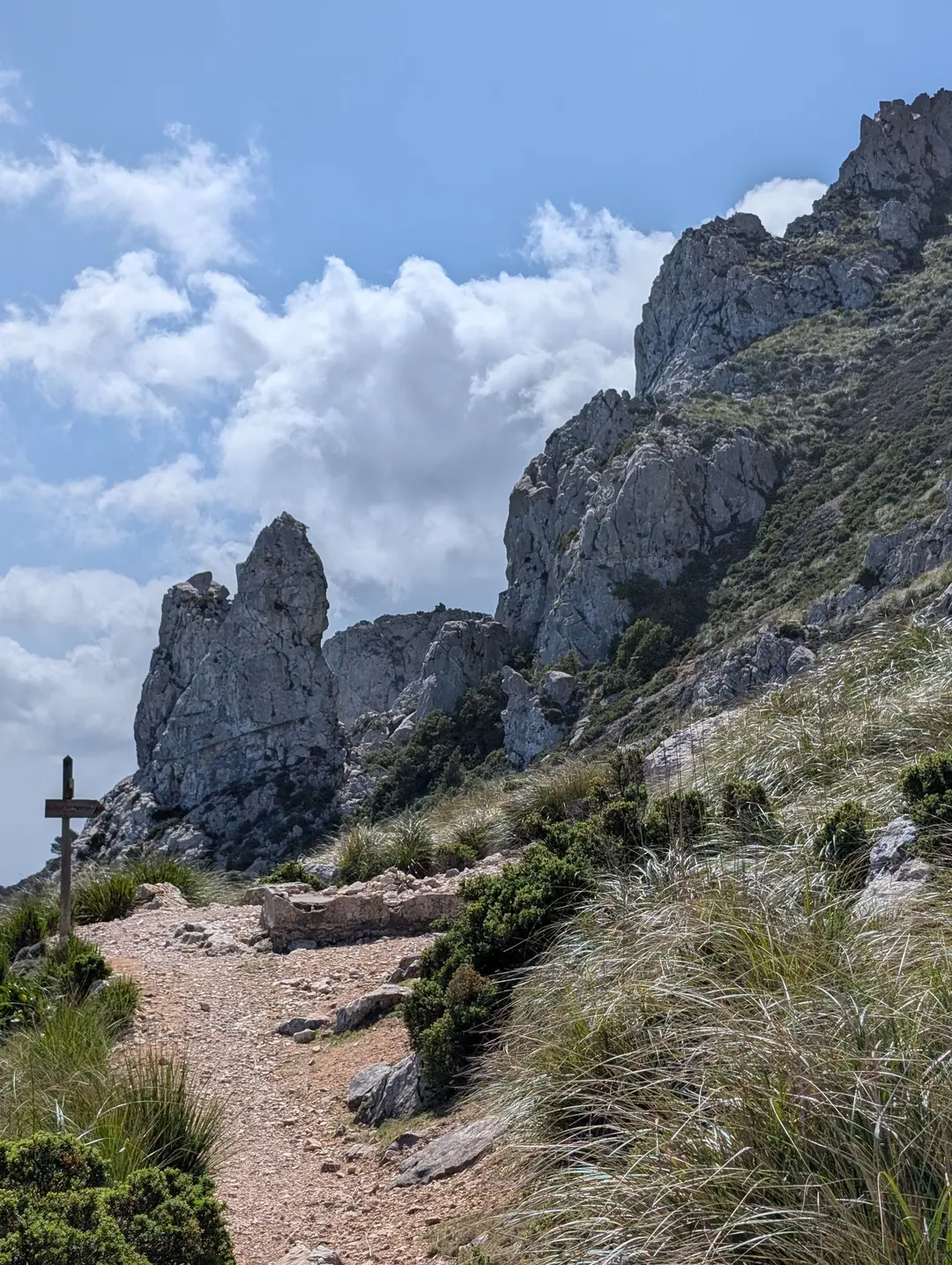
The most confusing part of the scramble is near the summit, where the path seems to disappear off in front. This is because you take a hard right up to join the summit ridge, rather than scrambling up straight ahead, which is perhaps more obvious at first. I’m sure you could go straight if you were that way inclined. Once on the ridge, it’s just a few strides across the boulders to the summit marker, which is a tatty concrete pillar – a little at odds with the quality of the mountain on which it sits. On this beautiful day, we had the summit to ourselves and spent a good few minutes admiring the views out over the Mediterranean to the north-west and the other high points of the Serra de Tramuntana to the north-east, which were just visible out of the haze. Puig de Galatzó sits isolated in the south-west of the island, with the other “Miles” congregated further north - this isolation really adds to the airy feeling of the summit.
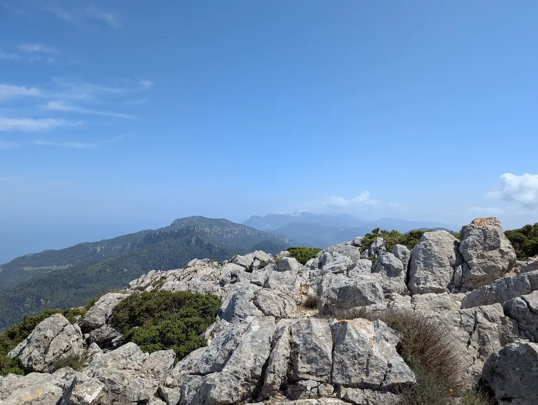
View out over the Serra de Tramuntana from near the summit
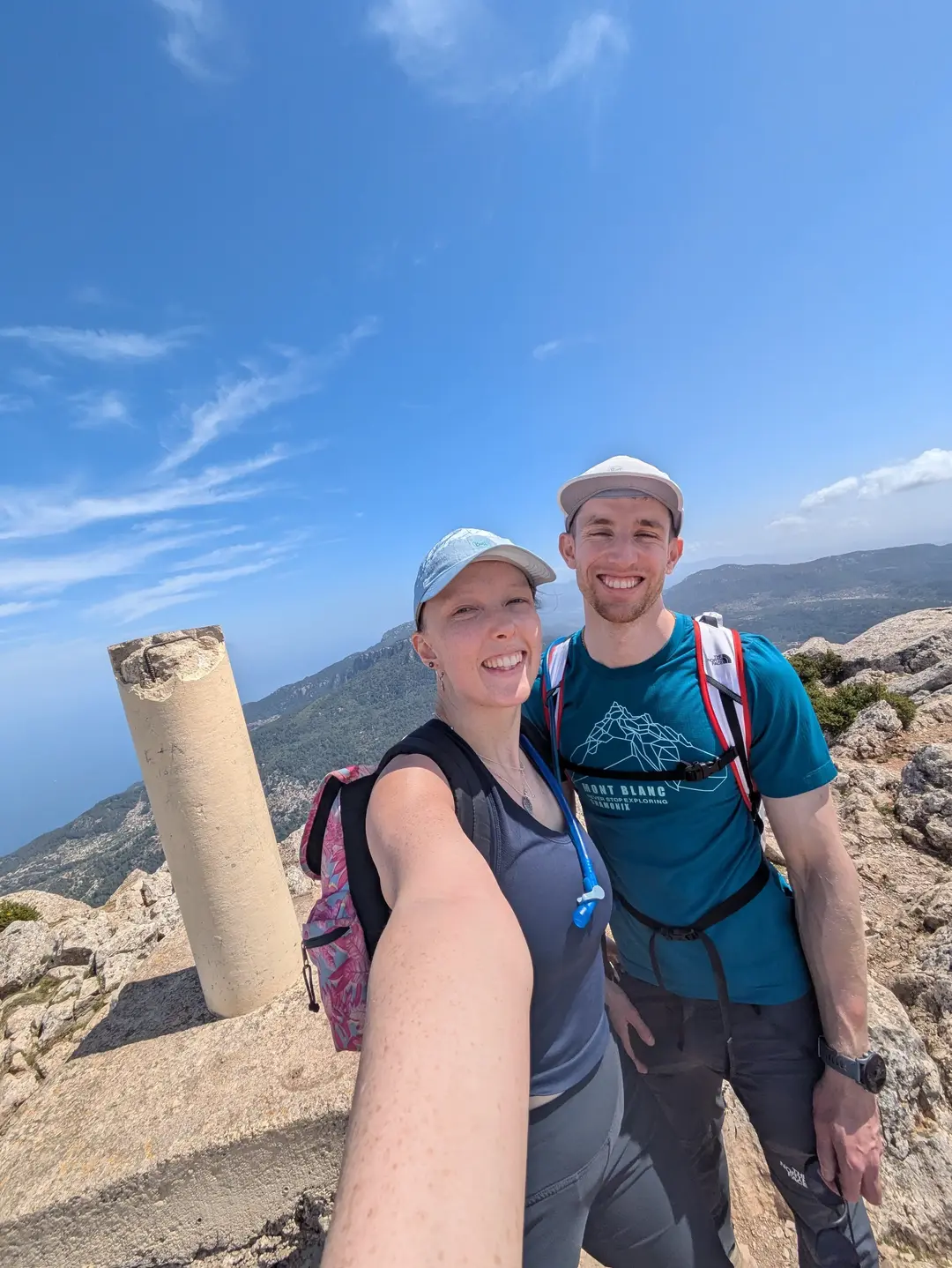
On the Summit with it all to ourselves
Unfortunately, our time on the summit was short-lived, with the hard deadline of getting to the airport at the back of our minds. To save time, we descended the way we came, back down the scrambly section to Es Bispe, down into the trees and into the cloud again. I guess the cloud never went away – the observant may notice that the clouds are even baked into the 3D map terrain (above), so I assume these are the norm!
We didn’t come to Mallorca knowing much about its mountains, and so we weren’t sure what to expect. But the Serra de Tramuntana really delivered in drama and beauty – the Spanish sunshine definitely helps too. Besides the coach of walkers, it really felt like we had the mountain to ourselves for much of the time, which is in contrast to reports of this being a very crowded Mallorcan mountain. If this is crowded, then the rest of the island’s mountains must be empty, or perhaps the cloud deterred people. This little island really delivered an unexpectedly big punch of mountains and the perfect use of a morning before a flight – much better than lazing on the beach. I’m sure we’ll be back, maybe we’ll string a route together of all 54 “Miles”?
Planning a Trip? - Some Practicalities
GPX Route
This GPX route was recorded during our ascent (as is reflected on the 3D route map). Though the route to the summit follows a good path, mountain conditions can change, so treat this as a rough guide rather than a precise plan. Always prepare carefully and follow local safety guidance.
Getting There
Map of start point above - click "Open in Maps " to open Google/Apple Maps and get directions
Mallorca’s roads are pretty good, and this route starts from a lay-by on the main coastal road to the west of the island. I would recommend hiring a car – there are plenty of car rentals in Mallorca, and prices are fairly reasonable. There were a decent number of parking spaces when we pulled up, at about 10 am on a Sunday, but the morning cloud cover may have deterred people. There is no large dedicated car park, though, so early starts would be best to prevent drama. If you can’t drive, then I would imagine a taxi would be doable, or if you’re feeling particularly energetic, then you could join the many cyclists on Mallorca’s roads and cycle to the start!
Terrain
The path is pretty good and easy to follow for the majority of the hike. The final stretch to the summit, after Es Bispe, is a scramble, and so the path becomes less clear. The most confusing part is near the summit, where, though you can continue straight up a gully, the easiest route is to take a hard right up to join the ridge. This is evident on the 3D map if you zoom in on the summit. In any case, though not to be underestimated, the scrambling never feels too exposed. We wore hiking shoes for the whole ascent, but trail runners would be fine for most people.
Scrambly section to the summit
When to Climb
Given Mallorca’s temperate climate, you can realistically expect to be able to climb Puig de Galatzó, or any of the other mountains in the Serra de Tramuntana, year-round. Snow is rare here even in the winter. Obviously, keep an eye on the weather forecast and pack for any reasonable eventuality – the ice axes can probably stay at home. There aren’t many places in Europe where you can guarantee year-round hiking conditions, but Mallorca might just be one of them.
Related Posts
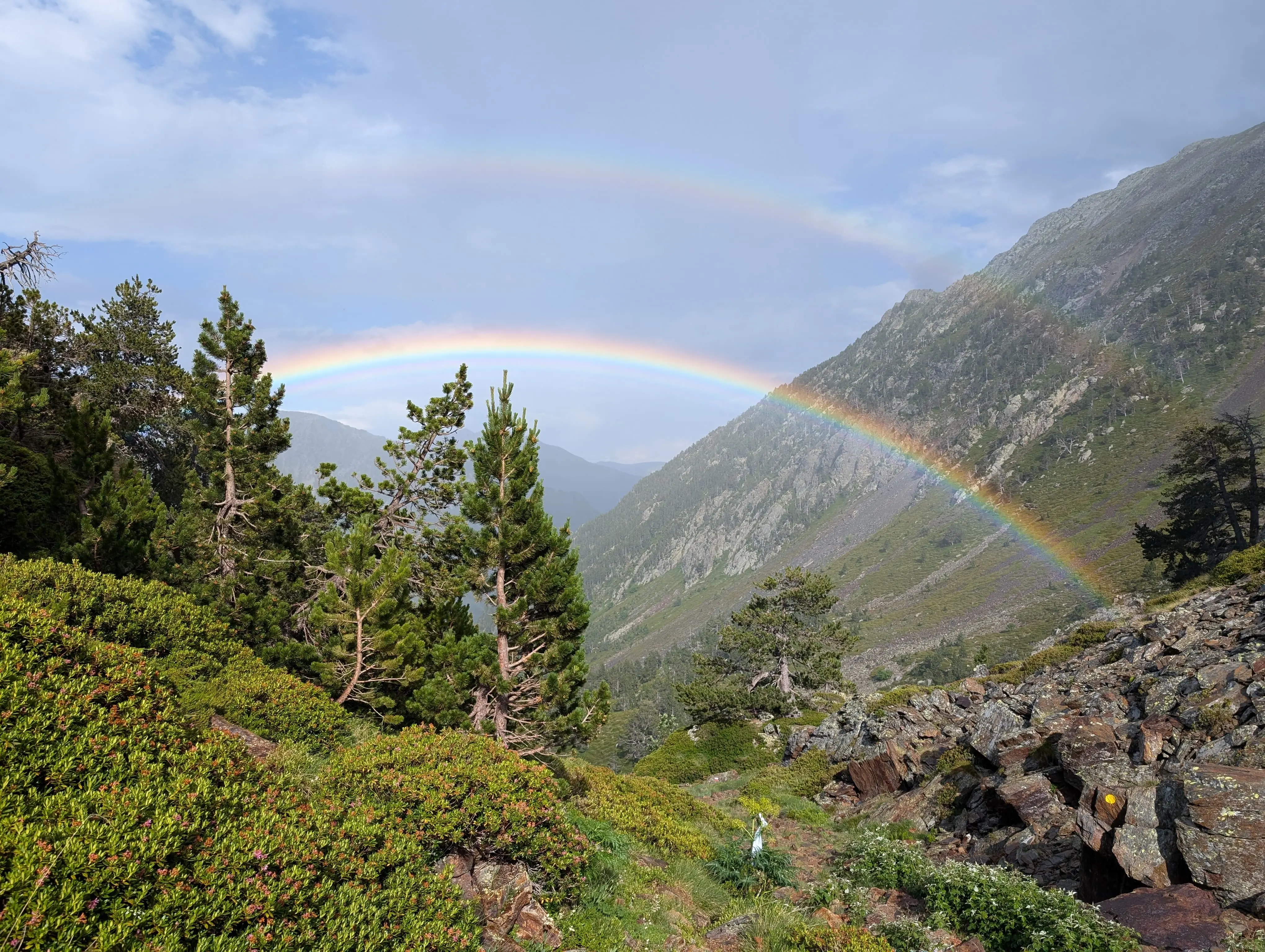
Comapedrosa (2,943m) - Route Guide & GPX | Andorra's Highest Mountain
Last updated: April 2026 Whilst the Alps get most of the attention in the European mountain scene, there’s an equally beautiful and dramatic range on the other side of France. The Pyrenees form the...
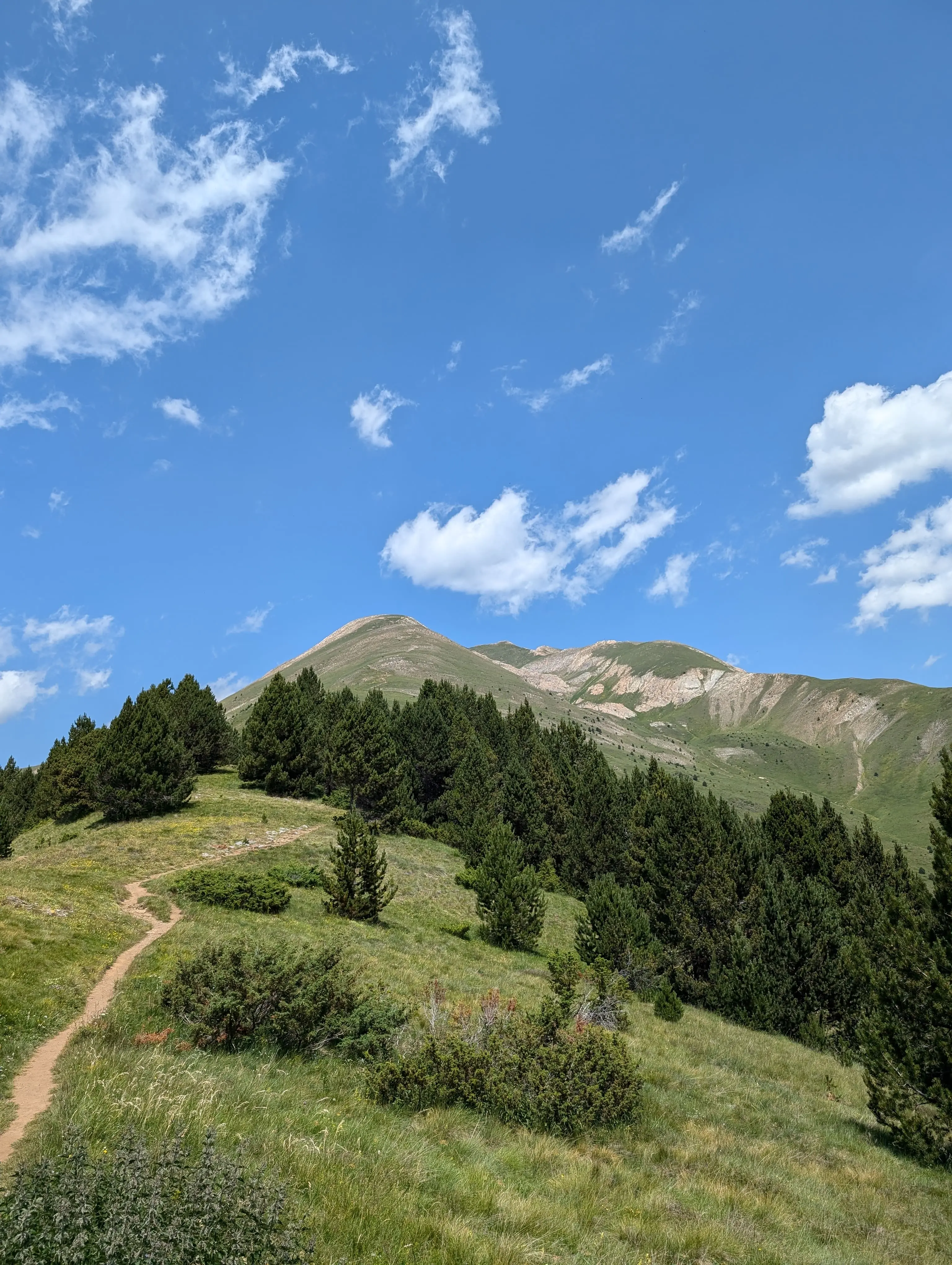
Casamanya (2,740m) - Route Guide & GPX | Andorra's Family Friendly Mountain
Last updated: April 2026 Nestled in the heart of Andorra, a mountainous European microstate, Casamanya stands as an unassuming "hill looking" mountain. At 2,740m, it would tower over any peak in the...
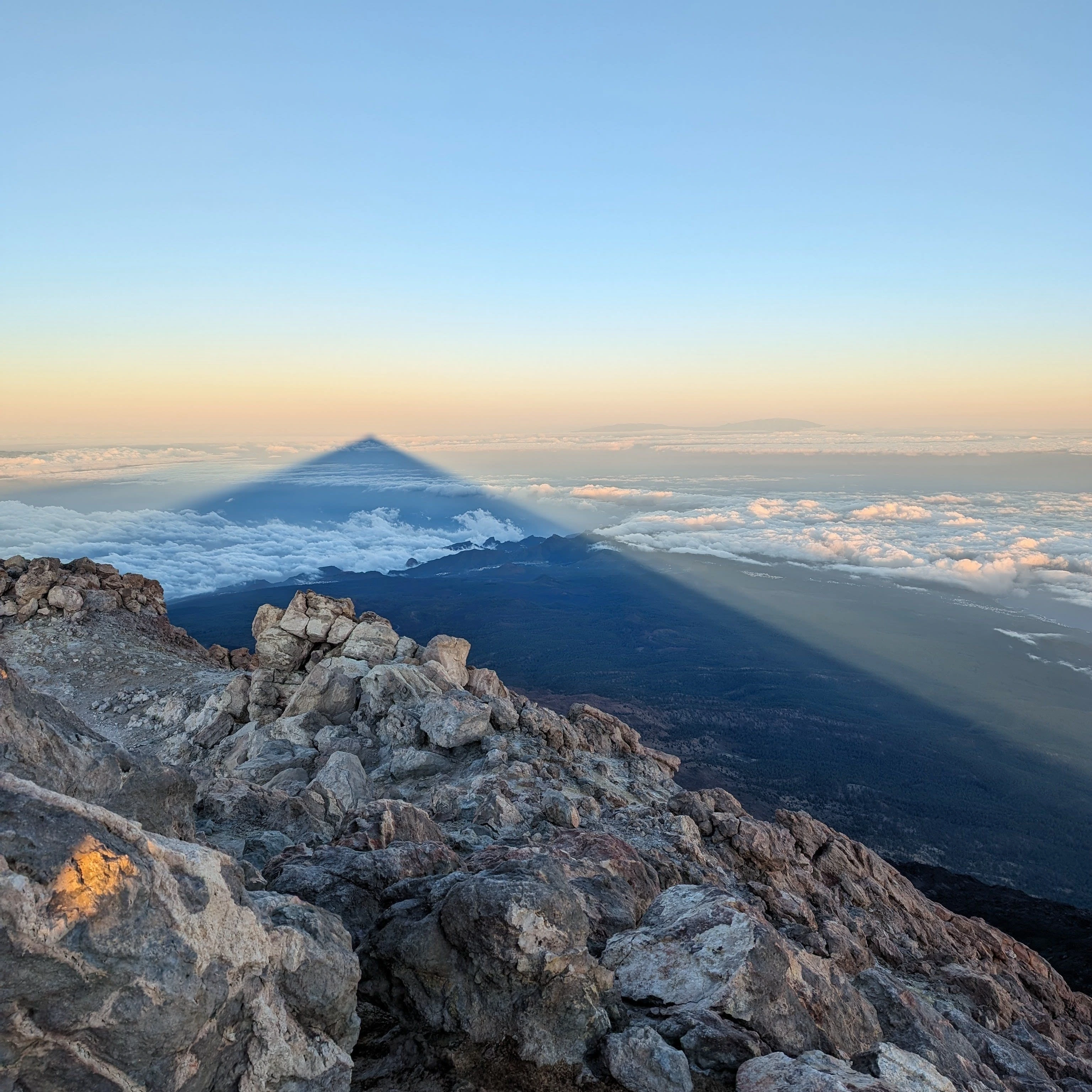
Mount Teide (3,718m) - Route Guide & GPX | Sunrise from Spain's Highest Mountain
Last updated: April 2026 Pico del Teide, or Teide for short, rises magnificently out of the Atlantic Ocean on the island of Tenerife. At 3,718m, it is probably one of the highest peaks in Europe that...