Last updated: March 2026
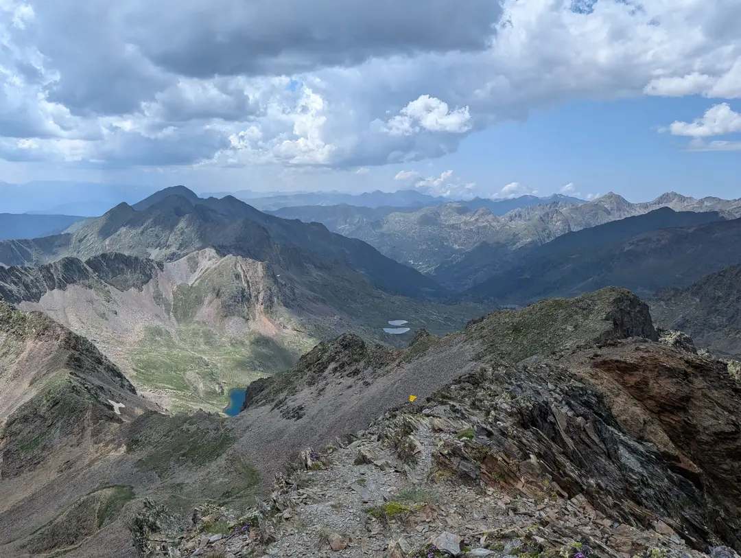
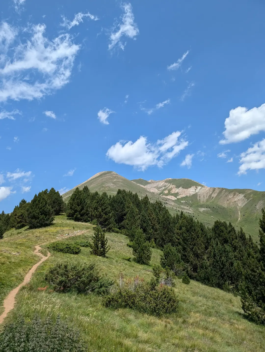
Whilst the Alps get most of the attention in the European mountain scene, there’s an equally beautiful and dramatic range on the other side of France. The Pyrenees form the natural border between France and Spain, stretching from the Mediterranean in the east to the Atlantic in the west. Nestled amongst these jagged peaks is Andorra, an ancient and tiny landlocked country that often gets forgotten about. If it does come up in conversation, it’s usually for the tax-free shopping or skiing.
Part of the reason for Andorra’s relative anonymity is that it isn’t the easiest place to reach. Despite being close to the UK as the crow flies, there’s no airport or train line into the country, and the surrounding mountains mean the nearest airports are still a fair drive away. We made the beautiful three-hour journey from Barcelona a few days before, and whilst it requires a bit of extra effort, the reward is stunning summer scenery without the crowds of Europe’s more famous hiking spots.